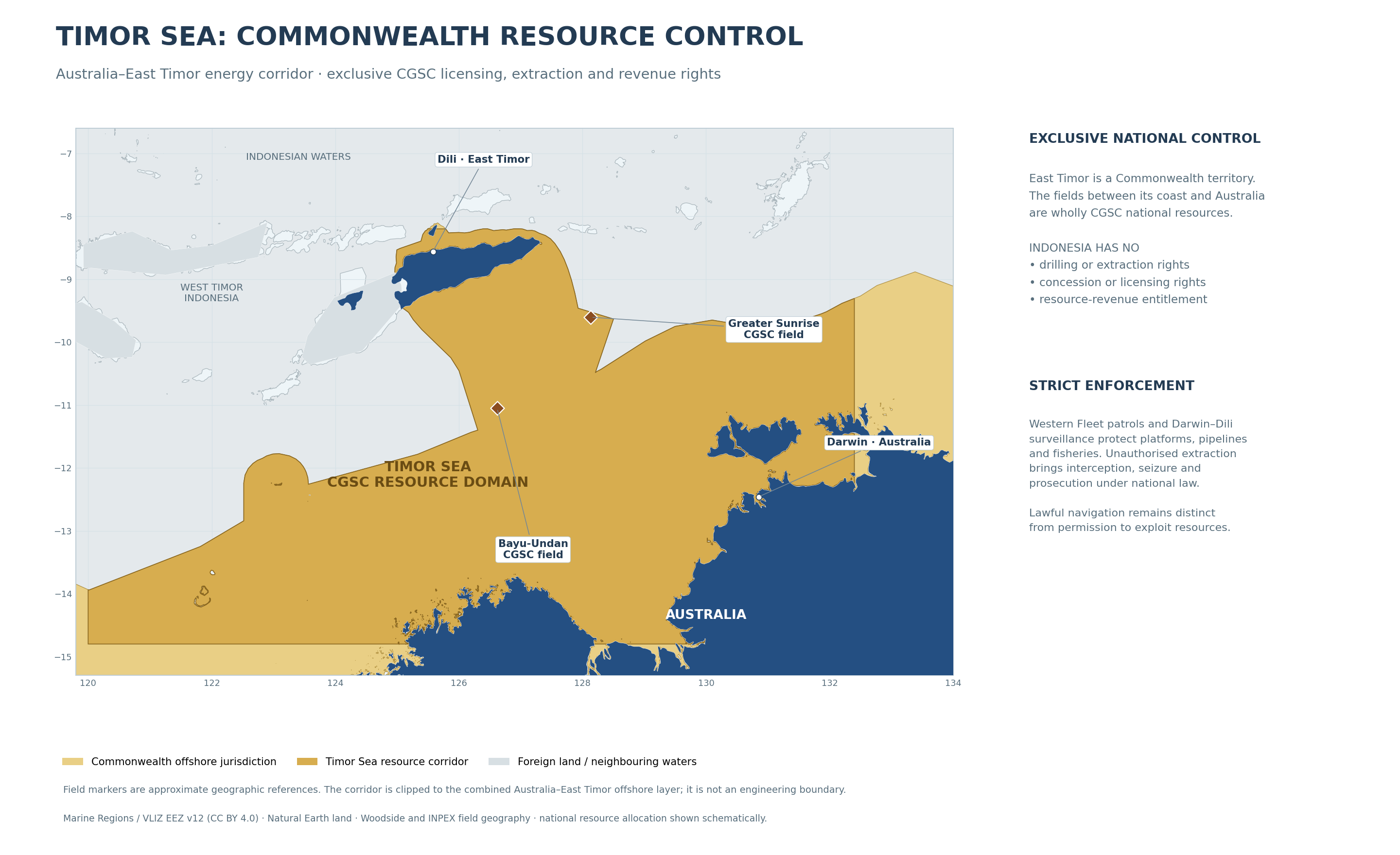
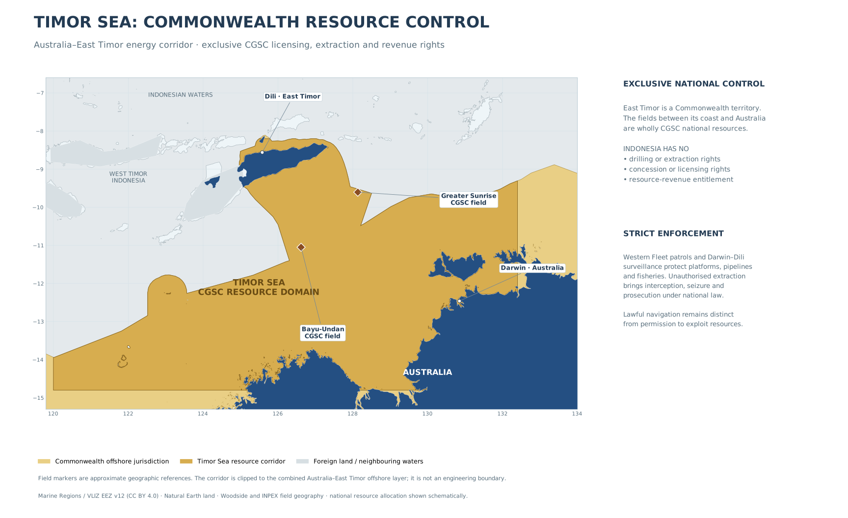
National resource domain
East Timor’s territorial integration places both shores within the same national system. The Greater Sunrise and Bayu-Undan systems and the other oil and gas fields in the Australia–East Timor corridor belong wholly to CGSC offshore resource jurisdiction. The national EEZ and seabed-resource framework cover their exploration, production, pipelines, processing and environmental regulation.
Indonesian exclusion
Indonesia has zero entitlement to these resource fields: no exploration title, drilling access, extraction licence, concession, ownership entitlement through an Indonesian state agency or joint-development revenue share. The Commonwealth does not trade resource access for regional pressure. Foreign contractors require CGSC approval and comply with its security and national-content rules; Indonesian resource concessions are excluded from this corridor.
Enforcement and infrastructure
Western Fleet, Darwin and Dili support the energy-security system. Maritime patrol aircraft, ships, coastguard units and inspectors maintain surveillance of platforms, pipelines and access routes. Unauthorised extraction triggers interception, detention, seizure and court proceedings. Protected installations receive dedicated safety and security arrangements. The public record does not publish patrol schedules or sensitive infrastructure vulnerabilities.
Domestic benefits
Federal and East Timor institutions fund public healthcare, schools, technical education, power, water and transport before discretionary export expansion. Local training, offshore engineering, refining/LNG services and safe maintenance connect the resource sector to the territory’s long-term development. The administrative division between Australian states and East Timor does not create an international resource-sharing border.
Map conventions
The inset highlights the national offshore corridor using the published Australian and Timorese geographic polygons as a base. The internal historical delimitation is suppressed within the combined national layer. Field markers indicate approximate locations, not surveyed lease or safety-zone limits. Neighbouring Indonesian territory is not annexed by the map. Ordinary transit rights and resource extraction rights remain separate.
Geographic references
Woodside, Greater Sunrise geographic description: Historical source
INPEX, Bayu-Undan geographic description: Historical source
Geoscience Australia, maritime zones and seabed rights: Historical source Northern Territory Environment Protection Authority, Sunrise EIS, design and construction geography: Historical source